Merton: Nursery Road
Introduction
The photograph on this page of Merton: Nursery Road by Dr Neil Clifton as part of the Geograph project.
The Geograph project started in 2005 with the aim of publishing, organising and preserving representative images for every square kilometre of Great Britain, Ireland and the Isle of Man.

There are currently over 7.5m images from over 14,400 individuals and you can help contribute to the project by visiting https://www.geograph.org.uk
Merton: Nursery Road
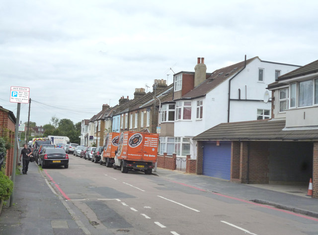
Image: © Dr Neil Clifton Taken: 27 Sep 2014
Looking west, these are the houses on the north side. The first two, where the red vans are parked, have names: Avondale and Mauronden. From there, the houses are numbered, 2 to 20 evens.
Images are licensed for reuse under creativecommons.org/licenses/by-sa/2.0
Image Location
Latitude
51.410051
Longitude
-0.193449