Ruined barn opposite disused quarry south of Banks
Introduction
The photograph on this page of Ruined barn opposite disused quarry south of Banks by Roger Templeman as part of the Geograph project.
The Geograph project started in 2005 with the aim of publishing, organising and preserving representative images for every square kilometre of Great Britain, Ireland and the Isle of Man.

There are currently over 7.5m images from over 14,400 individuals and you can help contribute to the project by visiting https://www.geograph.org.uk
Ruined barn opposite disused quarry south of Banks
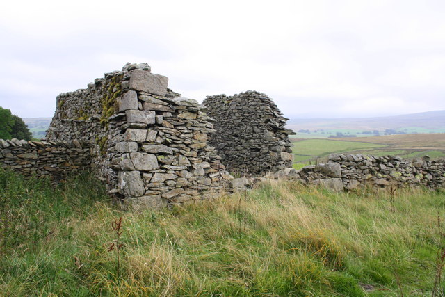
Image: © Roger Templeman Taken: 19 Sep 2014
There is an OS benchmark Image on the near corner of the building on the quoin with white lichen
Images are licensed for reuse under creativecommons.org/licenses/by-sa/2.0
Image Location
Latitude
54.40953
Longitude
-2.432128