Lane near Scollops Farm
Introduction
The photograph on this page of Lane near Scollops Farm by Marathon as part of the Geograph project.
The Geograph project started in 2005 with the aim of publishing, organising and preserving representative images for every square kilometre of Great Britain, Ireland and the Isle of Man.

There are currently over 7.5m images from over 14,400 individuals and you can help contribute to the project by visiting https://www.geograph.org.uk
Lane near Scollops Farm
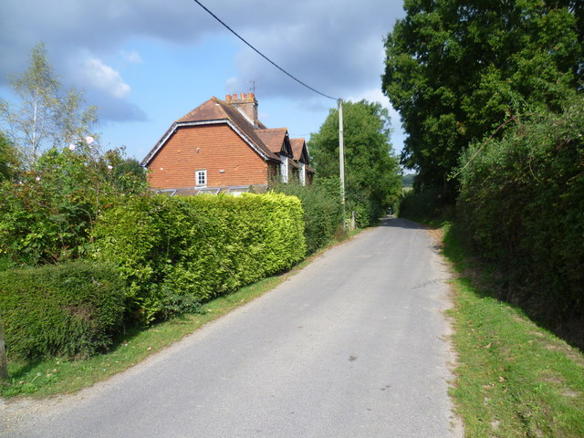
Image: © Marathon Taken: 21 Sep 2014
This lane makes a right hand bend between Faulkners Hill Farm and Scollops Farm, just behind where I am standing. Beyond these houses it steadily rises to the Greensand Ridge at Stubbs Wood.
Images are licensed for reuse under creativecommons.org/licenses/by-sa/2.0
Image Location
Latitude
51.23047
Longitude
0.147001