Footpath from Northbourne Road to Eastry
Introduction
The photograph on this page of Footpath from Northbourne Road to Eastry by Hugh Craddock as part of the Geograph project.
The Geograph project started in 2005 with the aim of publishing, organising and preserving representative images for every square kilometre of Great Britain, Ireland and the Isle of Man.

There are currently over 7.5m images from over 14,400 individuals and you can help contribute to the project by visiting https://www.geograph.org.uk
Footpath from Northbourne Road to Eastry
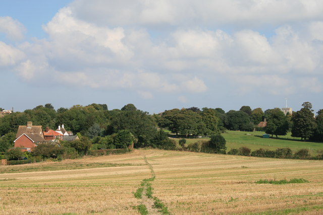
Image: © Hugh Craddock Taken: 12 Sep 2014
Cross-field footpath from Northbourne Road to Lower Street in Eastry. The path is well defined across the stubble of a cereal crop. Also visible from the same vantage point Image, and from the other end of the path Image
Images are licensed for reuse under creativecommons.org/licenses/by-sa/2.0
Image Location


Leaflet Map data © OpenStreetMap
Latitude
51.241256
Longitude
1.308275