Westway approaching Marylebone Flyover
Introduction
The photograph on this page of Westway approaching Marylebone Flyover by Danny P Robinson as part of the Geograph project.
The Geograph project started in 2005 with the aim of publishing, organising and preserving representative images for every square kilometre of Great Britain, Ireland and the Isle of Man.

There are currently over 7.5m images from over 14,400 individuals and you can help contribute to the project by visiting https://www.geograph.org.uk
Westway approaching Marylebone Flyover
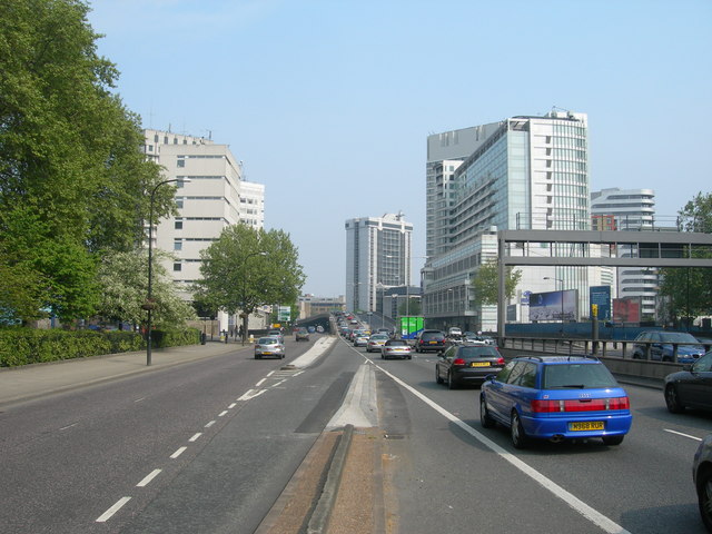
Image: © Danny P Robinson Taken: 29 Apr 2007
This vista will be all too familiar to those who have ever driven into the city centre from the west along the elevated A40. They will have had plenty of time to admire the view, whilst sat in the usual queue.
Images are licensed for reuse under creativecommons.org/licenses/by-sa/2.0
Image Location
Latitude
51.520017
Longitude
-0.175264