Caolas: postbox № PA77 121
Introduction
The photograph on this page of Caolas: postbox № PA77 121 by Chris Downer as part of the Geograph project.
The Geograph project started in 2005 with the aim of publishing, organising and preserving representative images for every square kilometre of Great Britain, Ireland and the Isle of Man.

There are currently over 7.5m images from over 14,400 individuals and you can help contribute to the project by visiting https://www.geograph.org.uk
Caolas: postbox № PA77 121
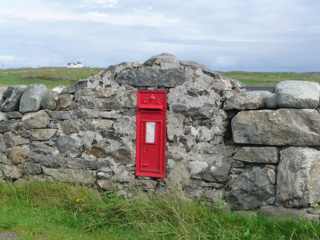
Image: © Chris Downer Taken: 6 Aug 2014
A George V-reign postbox set into a wall, serving the most northeasterly village on the island.
Images are licensed for reuse under creativecommons.org/licenses/by-sa/2.0
Image Location


Leaflet Map data © OpenStreetMap
Latitude
56.541133
Longitude
-6.74539