Howierig Wood
Introduction
The photograph on this page of Howierig Wood by Richard Webb as part of the Geograph project.
The Geograph project started in 2005 with the aim of publishing, organising and preserving representative images for every square kilometre of Great Britain, Ireland and the Isle of Man.

There are currently over 7.5m images from over 14,400 individuals and you can help contribute to the project by visiting https://www.geograph.org.uk
Howierig Wood
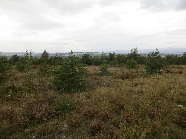
Image: © Richard Webb Taken: 23 Sep 2014
The modern version of Howierig Wood - the wood shown on old maps has gone and a small hill, probably a bing has appeared on land previously surveyed as flat. The path up here is signposted as a viewpoint, the view is now being lost to the woodland.
Images are licensed for reuse under creativecommons.org/licenses/by-sa/2.0
Image Location
Latitude
55.992248
Longitude
-3.84806