Chipstead: Public footpath and Rosemere Cottage
Introduction
The photograph on this page of Chipstead: Public footpath and Rosemere Cottage by Dr Neil Clifton as part of the Geograph project.
The Geograph project started in 2005 with the aim of publishing, organising and preserving representative images for every square kilometre of Great Britain, Ireland and the Isle of Man.

There are currently over 7.5m images from over 14,400 individuals and you can help contribute to the project by visiting https://www.geograph.org.uk
Chipstead: Public footpath and Rosemere Cottage
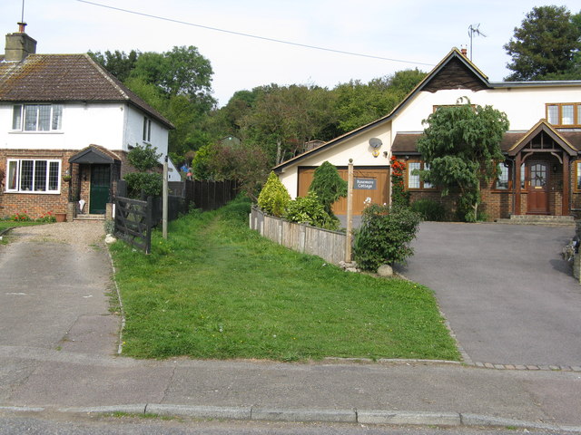
Image: © Dr Neil Clifton Taken: 23 Sep 2014
The footpath leads across the railway (Tattenham Corner line) and into Banstead Woods.
Images are licensed for reuse under creativecommons.org/licenses/by-sa/2.0
Image Location


Leaflet Map data © OpenStreetMap
Latitude
51.297992
Longitude
-0.181212