Oswald's Trail, Oswestry
Introduction
The photograph on this page of Oswald's Trail, Oswestry by Jaggery as part of the Geograph project.
The Geograph project started in 2005 with the aim of publishing, organising and preserving representative images for every square kilometre of Great Britain, Ireland and the Isle of Man.

There are currently over 7.5m images from over 14,400 individuals and you can help contribute to the project by visiting https://www.geograph.org.uk
Oswald's Trail, Oswestry
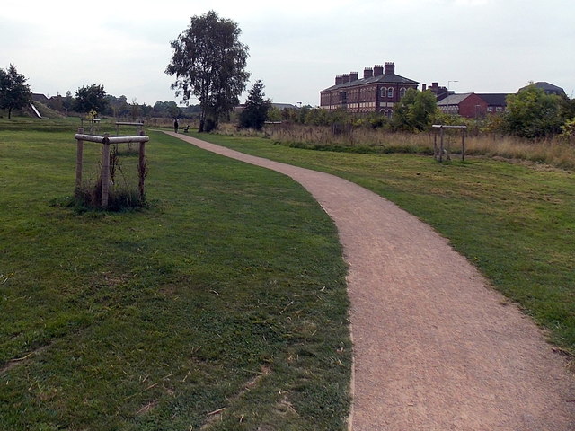
Image: © Jaggery Taken: 15 Sep 2014
Part of the 20km long Oswald's Trail around Oswestry. A nearby information board states that the Battle of Maserfield is thought to have been fought near what is now Oswestry in 642, between Anglo-Saxon kings Penda of Mercia and Oswald of Northumbria. Oswald was killed in this battle and dismembered. According to legend, one of his arms was carried to an ash tree by a raven. Miracles were later attributed to the tree as Oswald was considered a saint. This is the legendary derivation of the name Oswestry (Oswald's Tree). The Welsh name for the town is Croesoswallt (Oswald's Cross).
Images are licensed for reuse under creativecommons.org/licenses/by-sa/2.0
Image Location
Latitude
52.860594
Longitude
-3.04931