Northern boundary of Castle Combe
Introduction
The photograph on this page of Northern boundary of Castle Combe by Jaggery as part of the Geograph project.
The Geograph project started in 2005 with the aim of publishing, organising and preserving representative images for every square kilometre of Great Britain, Ireland and the Isle of Man.

There are currently over 7.5m images from over 14,400 individuals and you can help contribute to the project by visiting https://www.geograph.org.uk
Northern boundary of Castle Combe
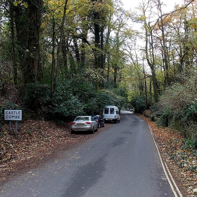
Image: © Jaggery Taken: 24 Nov 2013
The Street descends towards the centre of the small village in NW Wiltshire.
Images are licensed for reuse under creativecommons.org/licenses/by-sa/2.0
Image Location
Latitude
51.496044
Longitude
-2.225532