Morris Street, Newport
Introduction
The photograph on this page of Morris Street, Newport by Jaggery as part of the Geograph project.
The Geograph project started in 2005 with the aim of publishing, organising and preserving representative images for every square kilometre of Great Britain, Ireland and the Isle of Man.

There are currently over 7.5m images from over 14,400 individuals and you can help contribute to the project by visiting https://www.geograph.org.uk
Morris Street, Newport
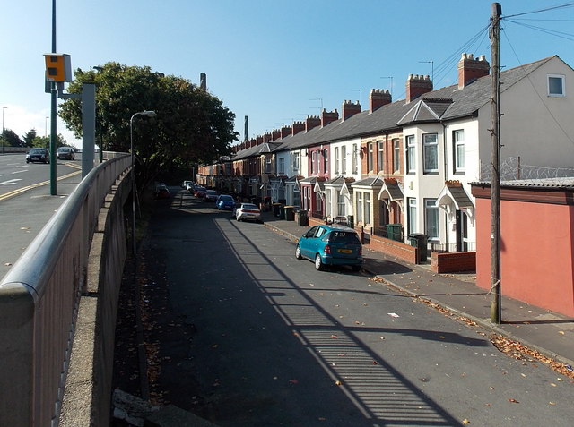
Image: © Jaggery Taken: 21 Sep 2014
Viewed from the Corporation Road end, at the edge of George Street bridge. Before the construction of the bridge which opened in 1964, there were houses on both sides of the street, as shown in Kelly's Directory of Monmouthshire (1901 edition) which lists both odd-numbered and even-numbered houses here. Now only the even-numbered side remains.
Images are licensed for reuse under creativecommons.org/licenses/by-sa/2.0
Image Location
Latitude
51.585477
Longitude
-2.982573