Lennoxtown Farm Ruin
Introduction
The photograph on this page of Lennoxtown Farm Ruin by Ron Shephard as part of the Geograph project.
The Geograph project started in 2005 with the aim of publishing, organising and preserving representative images for every square kilometre of Great Britain, Ireland and the Isle of Man.

There are currently over 7.5m images from over 14,400 individuals and you can help contribute to the project by visiting https://www.geograph.org.uk
Lennoxtown Farm Ruin
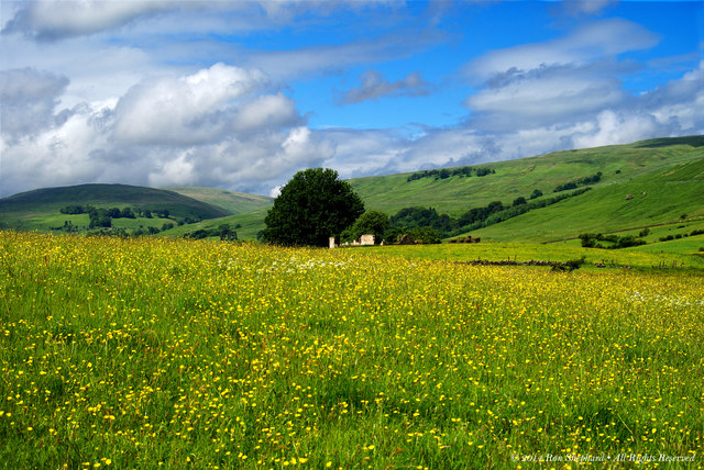
Image: © Ron Shephard Taken: 10 Jun 2014
An old farm building ruin located just west of Lennoxtown. The view shows Campsie Glen to the right of the tree and Fin Glen to the left.
Images are licensed for reuse under creativecommons.org/licenses/by-sa/2.0
Image Location
Latitude
55.982021
Longitude
-4.20744