Myen Dvarow, Higher Bojewyan
Introduction
The photograph on this page of Myen Dvarow, Higher Bojewyan by Chris Andrews as part of the Geograph project.
The Geograph project started in 2005 with the aim of publishing, organising and preserving representative images for every square kilometre of Great Britain, Ireland and the Isle of Man.

There are currently over 7.5m images from over 14,400 individuals and you can help contribute to the project by visiting https://www.geograph.org.uk
Myen Dvarow, Higher Bojewyan
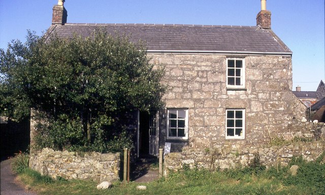
Image: © Chris Andrews Taken: 20 Aug 1992
Two tin miners cottages converted into one dwelling.
Images are licensed for reuse under creativecommons.org/licenses/by-sa/2.0
Image Location


Leaflet Map data © OpenStreetMap
Latitude
50.154777
Longitude
-5.652043