Cycleway and Loop
Introduction
The photograph on this page of Cycleway and Loop by Des Blenkinsopp as part of the Geograph project.
The Geograph project started in 2005 with the aim of publishing, organising and preserving representative images for every square kilometre of Great Britain, Ireland and the Isle of Man.

There are currently over 7.5m images from over 14,400 individuals and you can help contribute to the project by visiting https://www.geograph.org.uk
Cycleway and Loop
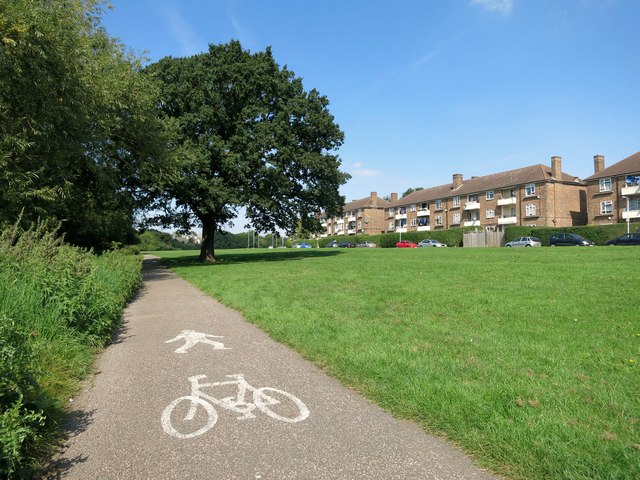
Image: © Des Blenkinsopp Taken: 8 Sep 2014
Sustrans cycleway No. 136 runs southwards from here down to Rainham. Much of the way is shared with the London Loop path.
Images are licensed for reuse under creativecommons.org/licenses/by-sa/2.0
Image Location
Latitude
51.610228
Longitude
0.225103