Log by the Loop
Introduction
The photograph on this page of Log by the Loop by Des Blenkinsopp as part of the Geograph project.
The Geograph project started in 2005 with the aim of publishing, organising and preserving representative images for every square kilometre of Great Britain, Ireland and the Isle of Man.

There are currently over 7.5m images from over 14,400 individuals and you can help contribute to the project by visiting https://www.geograph.org.uk
Log by the Loop
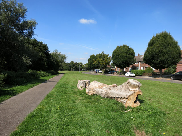
Image: © Des Blenkinsopp Taken: 8 Sep 2014
The London Loop path follows this cycleway through a strip of open space beside the diminutive Paines Brook which is in the trees on the left.
Images are licensed for reuse under creativecommons.org/licenses/by-sa/2.0
Image Location
Latitude
51.604355
Longitude
0.231314