Hilltop Estate, Brierley
Introduction
The photograph on this page of Hilltop Estate, Brierley by Carol Rose as part of the Geograph project.
The Geograph project started in 2005 with the aim of publishing, organising and preserving representative images for every square kilometre of Great Britain, Ireland and the Isle of Man.

There are currently over 7.5m images from over 14,400 individuals and you can help contribute to the project by visiting https://www.geograph.org.uk
Hilltop Estate, Brierley
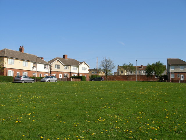
Image: © Carol Rose Taken: 27 Apr 2007
This small housing estate takes the form of an oval of houses around a central green. There is evidence of mining subsidence, seen in the missing pair of semis and the half of a semi remaining.
Images are licensed for reuse under creativecommons.org/licenses/by-sa/2.0
Image Location
Latitude
53.597768
Longitude
-1.384683