Tattingstone, village sign
Introduction
The photograph on this page of Tattingstone, village sign by Bikeboy as part of the Geograph project.
The Geograph project started in 2005 with the aim of publishing, organising and preserving representative images for every square kilometre of Great Britain, Ireland and the Isle of Man.

There are currently over 7.5m images from over 14,400 individuals and you can help contribute to the project by visiting https://www.geograph.org.uk
Tattingstone, village sign
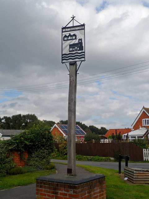
Image: © Bikeboy Taken: 13 Sep 2014
The village of Tattingstone was split in half in the 1970s when land was flooded to make Alton Water Reservoir
Images are licensed for reuse under creativecommons.org/licenses/by-sa/2.0
Image Location
Latitude
51.991883
Longitude
1.109714