Eglwys St. Mihangel's Church
Introduction
The photograph on this page of Eglwys St. Mihangel's Church by Arthur C Harris as part of the Geograph project.
The Geograph project started in 2005 with the aim of publishing, organising and preserving representative images for every square kilometre of Great Britain, Ireland and the Isle of Man.

There are currently over 7.5m images from over 14,400 individuals and you can help contribute to the project by visiting https://www.geograph.org.uk
Eglwys St. Mihangel's Church
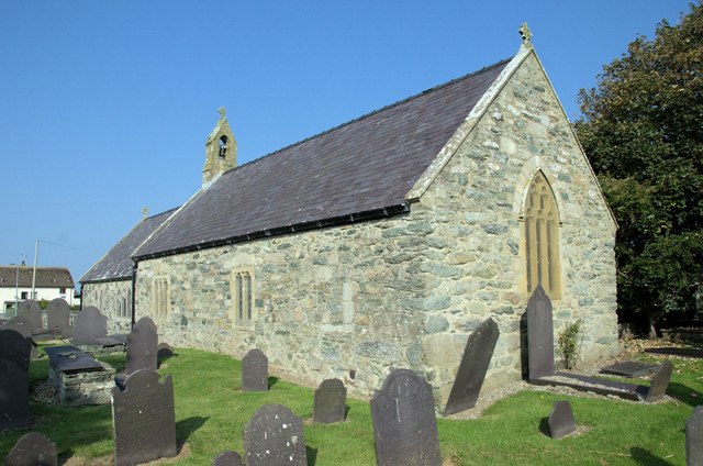
Image: © Arthur C Harris Taken: 11 Sep 2014
Eglwys St.Mihangel, the RAF Church - used as the Anglican and Scottish Free Church place of worship.
Images are licensed for reuse under creativecommons.org/licenses/by-sa/2.0
Image Location
Latitude
53.267318
Longitude
-4.518291