Old Poplar Plantation
Introduction
The photograph on this page of Old Poplar Plantation by SK53 as part of the Geograph project.
The Geograph project started in 2005 with the aim of publishing, organising and preserving representative images for every square kilometre of Great Britain, Ireland and the Isle of Man.

There are currently over 7.5m images from over 14,400 individuals and you can help contribute to the project by visiting https://www.geograph.org.uk
Old Poplar Plantation
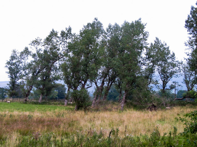
Image: © SK53 Taken: 14 Sep 2014
These rather decrepit poplars surround a circular reservoir next to Peakhole Water. Presumably the site was once part of the local area water works. Looking at old maps it looks as if they were planted post WWII.
Images are licensed for reuse under creativecommons.org/licenses/by-sa/2.0
Image Location
Latitude
53.344832
Longitude
-1.763691