Parish Boundary at Stoneclough
Introduction
The photograph on this page of Parish Boundary at Stoneclough by R Greenhalgh as part of the Geograph project.
The Geograph project started in 2005 with the aim of publishing, organising and preserving representative images for every square kilometre of Great Britain, Ireland and the Isle of Man.

There are currently over 7.5m images from over 14,400 individuals and you can help contribute to the project by visiting https://www.geograph.org.uk
Parish Boundary at Stoneclough
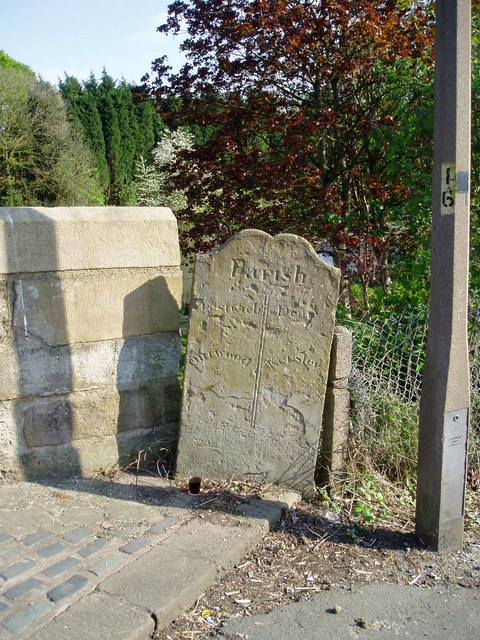
Image: © R Greenhalgh Taken: 28 Apr 2007
The boundary between districts can be identified on maps as a man made feature. Here the boundary between the Parish of Dean and the Parish of Prestwich can be seen on the stone on the west side of the footbridge over the River Irwell. Shouldn't the stone be in the middle of the bridge since most boundary lines run down the centre of a river?
Images are licensed for reuse under creativecommons.org/licenses/by-sa/2.0
Image Location
Latitude
53.543891
Longitude
-2.35897