Lady Octavia Park
Introduction
The photograph on this page of Lady Octavia Park by Thomas Nugent as part of the Geograph project.
The Geograph project started in 2005 with the aim of publishing, organising and preserving representative images for every square kilometre of Great Britain, Ireland and the Isle of Man.

There are currently over 7.5m images from over 14,400 individuals and you can help contribute to the project by visiting https://www.geograph.org.uk
Lady Octavia Park
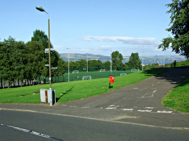
Image: © Thomas Nugent Taken: 7 Sep 2014
National Cycle Route number 75 joins Bridgend Road at this point, having just left the trackbed of the former Glasgow to Princes Pier railway line.
Images are licensed for reuse under creativecommons.org/licenses/by-sa/2.0
Image Location
Latitude
55.935539
Longitude
-4.732562