Heol Piodau Bach Road
Introduction
The photograph on this page of Heol Piodau Bach Road by Alan Richards as part of the Geograph project.
The Geograph project started in 2005 with the aim of publishing, organising and preserving representative images for every square kilometre of Great Britain, Ireland and the Isle of Man.

There are currently over 7.5m images from over 14,400 individuals and you can help contribute to the project by visiting https://www.geograph.org.uk
Heol Piodau Bach Road
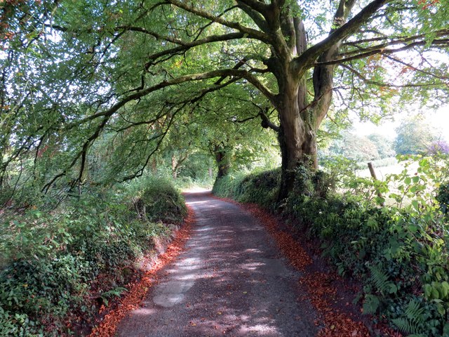
Image: © Alan Richards Taken: 13 Sep 2014
Heol a arwain at anhedd-dy o'r enw Piodau Bach. Mae'r ffordd hefyd yn llwybr cyhoeddus sy'n arwain tuag at Llandybie. An access road to a property known as Piodau Bach (trans. magpies). The way is also a public footpath which goes in the direction of Llandybie village (trans. church of St Tybie).
Images are licensed for reuse under creativecommons.org/licenses/by-sa/2.0
Image Location
Latitude
51.811619
Longitude
-4.002069