Valley behind Bee Sands
Introduction
The photograph on this page of Valley behind Bee Sands by Derek Harper as part of the Geograph project.
The Geograph project started in 2005 with the aim of publishing, organising and preserving representative images for every square kilometre of Great Britain, Ireland and the Isle of Man.

There are currently over 7.5m images from over 14,400 individuals and you can help contribute to the project by visiting https://www.geograph.org.uk
Valley behind Bee Sands
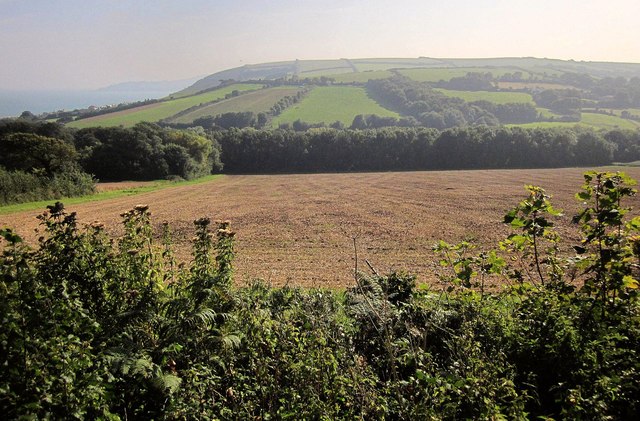
Image: © Derek Harper Taken: 9 Sep 2014
Looking across the Widdicombe valley from Stokenham Footpath 17, with the coast to Start Point on the left.
Images are licensed for reuse under creativecommons.org/licenses/by-sa/2.0
Image Location
Latitude
50.257983
Longitude
-3.662331