Townend Common Local Nature Reserve
Introduction
The photograph on this page of Townend Common Local Nature Reserve by Graham Hogg as part of the Geograph project.
The Geograph project started in 2005 with the aim of publishing, organising and preserving representative images for every square kilometre of Great Britain, Ireland and the Isle of Man.

There are currently over 7.5m images from over 14,400 individuals and you can help contribute to the project by visiting https://www.geograph.org.uk
Townend Common Local Nature Reserve
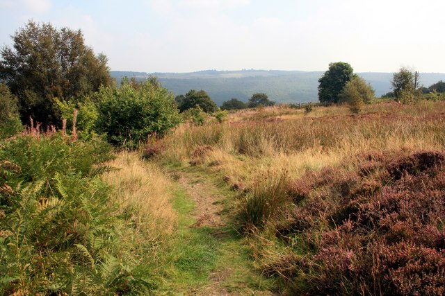
Image: © Graham Hogg Taken: 5 Sep 2014
This land was once used for coal mining to support local steel and ceramic industries. The hummocks are the remains of old mine adits (horizontal mine shafts).
Images are licensed for reuse under creativecommons.org/licenses/by-sa/2.0
Image Location


Leaflet Map data © OpenStreetMap
Latitude
53.46716
Longitude
-1.568391