Compass Cove
Introduction
The photograph on this page of Compass Cove by Alan Donovan as part of the Geograph project.
The Geograph project started in 2005 with the aim of publishing, organising and preserving representative images for every square kilometre of Great Britain, Ireland and the Isle of Man.

There are currently over 7.5m images from over 14,400 individuals and you can help contribute to the project by visiting https://www.geograph.org.uk
Compass Cove
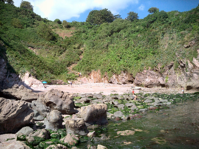
Image: © Alan Donovan Taken: 7 Aug 2005
East of Little Dartmouth and reached via a partially hidden trail that leads to a steep wooden step descent to the beach.
Images are licensed for reuse under creativecommons.org/licenses/by-sa/2.0
Image Location


Leaflet Map data © OpenStreetMap
Latitude
50.334843
Longitude
-3.568055