Shortacross View
Introduction
The photograph on this page of Shortacross View by Derek Harper as part of the Geograph project.
The Geograph project started in 2005 with the aim of publishing, organising and preserving representative images for every square kilometre of Great Britain, Ireland and the Isle of Man.

There are currently over 7.5m images from over 14,400 individuals and you can help contribute to the project by visiting https://www.geograph.org.uk
Shortacross View
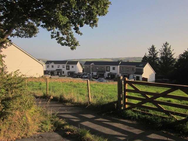
Image: © Derek Harper Taken: 10 Sep 2014
Too new to appear on most scales of map so far, this estate of 20 properties occupies the east part of a field in the angle between the B3257 and the A387, from which this was taken. A new path links the houses to the main part of Widegates.
Images are licensed for reuse under creativecommons.org/licenses/by-sa/2.0
Image Location
Latitude
50.394454
Longitude
-4.410285