Barns at Treveria
Introduction
The photograph on this page of Barns at Treveria by Derek Harper as part of the Geograph project.
The Geograph project started in 2005 with the aim of publishing, organising and preserving representative images for every square kilometre of Great Britain, Ireland and the Isle of Man.

There are currently over 7.5m images from over 14,400 individuals and you can help contribute to the project by visiting https://www.geograph.org.uk
Barns at Treveria
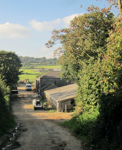
Image: © Derek Harper Taken: 10 Sep 2014
The conclusion of a route with public access, the one followed by Bill in Image Just behind the camera is the start of bridleway 630/5/1 to Trelowia.
Images are licensed for reuse under creativecommons.org/licenses/by-sa/2.0
Image Location
Latitude
50.384607
Longitude
-4.416678