Private path along Cranleigh Waters
Introduction
The photograph on this page of Private path along Cranleigh Waters by Alan Hunt as part of the Geograph project.
The Geograph project started in 2005 with the aim of publishing, organising and preserving representative images for every square kilometre of Great Britain, Ireland and the Isle of Man.

There are currently over 7.5m images from over 14,400 individuals and you can help contribute to the project by visiting https://www.geograph.org.uk
Private path along Cranleigh Waters
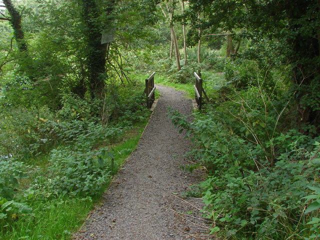
Image: © Alan Hunt Taken: 6 Sep 2014
The private fishermans path that branches off the Wey South path along a loop of Cranleigh Waters, a tributary of the River Wey.
Images are licensed for reuse under creativecommons.org/licenses/by-sa/2.0
Image Location


Leaflet Map data © OpenStreetMap
Latitude
51.204499
Longitude
-0.565105