Mining memorial north of Lluest
Introduction
The photograph on this page of Mining memorial north of Lluest by Jaggery as part of the Geograph project.
The Geograph project started in 2005 with the aim of publishing, organising and preserving representative images for every square kilometre of Great Britain, Ireland and the Isle of Man.

There are currently over 7.5m images from over 14,400 individuals and you can help contribute to the project by visiting https://www.geograph.org.uk
Mining memorial north of Lluest
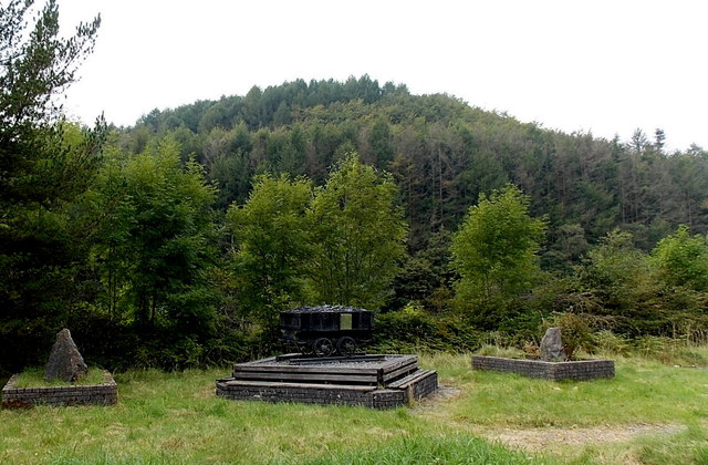
Image: © Jaggery Taken: 6 Sep 2014
Located on the west side of the A4064, above the Garw Valley, a former coal mining valley of major pits and small family-owned shafts. The memorial features a coal dram, http://www.geograph.org.uk/photo/4158952 a truck on rails used in mines.
Images are licensed for reuse under creativecommons.org/licenses/by-sa/2.0
Image Location
Latitude
51.598296
Longitude
-3.579286