Cliffhill Lane near Aslockton
Introduction
The photograph on this page of Cliffhill Lane near Aslockton by Stephen Richards as part of the Geograph project.
The Geograph project started in 2005 with the aim of publishing, organising and preserving representative images for every square kilometre of Great Britain, Ireland and the Isle of Man.

There are currently over 7.5m images from over 14,400 individuals and you can help contribute to the project by visiting https://www.geograph.org.uk
Cliffhill Lane near Aslockton
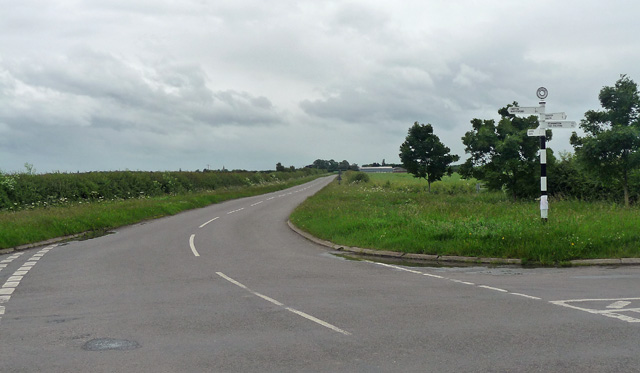
Image: © Stephen Richards Taken: 22 Jun 2012
At the crossroads at Speller Hill. Aslockton is ahead, Orston left (along Smite Lane), Thoroton behind and Scarrington right (via Longmoor Lane, Image]). The sign is seen here in the sun: Image
Images are licensed for reuse under creativecommons.org/licenses/by-sa/2.0
Image Location
Latitude
52.964044
Longitude
-0.878871