The Street, Bolney
Introduction
The photograph on this page of The Street, Bolney by Simon Carey as part of the Geograph project.
The Geograph project started in 2005 with the aim of publishing, organising and preserving representative images for every square kilometre of Great Britain, Ireland and the Isle of Man.

There are currently over 7.5m images from over 14,400 individuals and you can help contribute to the project by visiting https://www.geograph.org.uk
The Street, Bolney
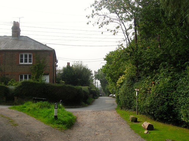
Image: © Simon Carey Taken: 7 Sep 2014
Viewed at the point where the current road turns east into Top Street with Springhead Cottages to the left. After to enclosure of Bolney Common a track still headed north to Malthouse Farm but has now been reduced to the status of a footpath.
Images are licensed for reuse under creativecommons.org/licenses/by-sa/2.0
Image Location
Latitude
50.99733
Longitude
-0.202684