Path Through Hartshill Park LNR
Introduction
The photograph on this page of Path Through Hartshill Park LNR by Glyn Baker as part of the Geograph project.
The Geograph project started in 2005 with the aim of publishing, organising and preserving representative images for every square kilometre of Great Britain, Ireland and the Isle of Man.

There are currently over 7.5m images from over 14,400 individuals and you can help contribute to the project by visiting https://www.geograph.org.uk
Path Through Hartshill Park LNR
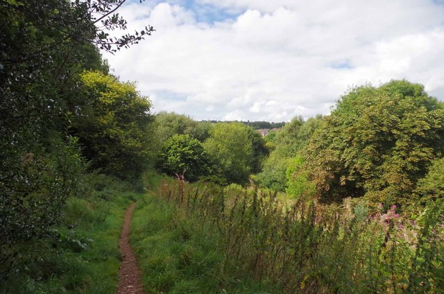
Image: © Glyn Baker Taken: 31 Aug 2014
This urban "country park" http://www.hartshillpark.org.uk/ in Stoke on Trent lies on steep ground between the A52 and the A500
Images are licensed for reuse under creativecommons.org/licenses/by-sa/2.0
Image Location
Latitude
53.010158
Longitude
-2.195498