Buildings at White's Farm
Introduction
The photograph on this page of Buildings at White's Farm by Alan Murray-Rust as part of the Geograph project.
The Geograph project started in 2005 with the aim of publishing, organising and preserving representative images for every square kilometre of Great Britain, Ireland and the Isle of Man.

There are currently over 7.5m images from over 14,400 individuals and you can help contribute to the project by visiting https://www.geograph.org.uk
Buildings at White's Farm
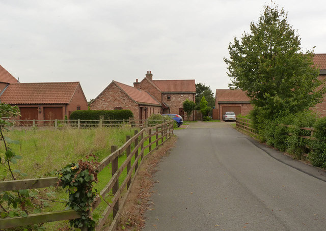
Image: © Alan Murray-Rust Taken: 3 Sep 2014
The complex of farm buildings at White's Farm was Listed Grade II as a coherent set of 19th farm buildings, but conversion for residential use has effectively destroyed their historic character and all were removed from the Heritage List in 2012.
Images are licensed for reuse under creativecommons.org/licenses/by-sa/2.0
Image Location
Latitude
53.32192
Longitude
-0.823574