Path across Scotch Common
Introduction
The photograph on this page of Path across Scotch Common by Marathon as part of the Geograph project.
The Geograph project started in 2005 with the aim of publishing, organising and preserving representative images for every square kilometre of Great Britain, Ireland and the Isle of Man.

There are currently over 7.5m images from over 14,400 individuals and you can help contribute to the project by visiting https://www.geograph.org.uk
Path across Scotch Common
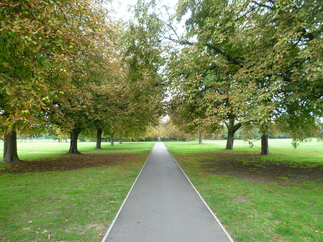
Image: © Marathon Taken: 3 Sep 2014
Scotch Common is the name of the road which separates this park from Cleveland Park to the south. It has been applied to this open space which links Cleveland Park with Brent River Park to the north.
Images are licensed for reuse under creativecommons.org/licenses/by-sa/2.0
Image Location


Leaflet Map data © OpenStreetMap
Latitude
51.526194
Longitude
-0.324078