Strawberry Hill
Introduction
The photograph on this page of Strawberry Hill by Rude Health as part of the Geograph project.
The Geograph project started in 2005 with the aim of publishing, organising and preserving representative images for every square kilometre of Great Britain, Ireland and the Isle of Man.

There are currently over 7.5m images from over 14,400 individuals and you can help contribute to the project by visiting https://www.geograph.org.uk
Strawberry Hill
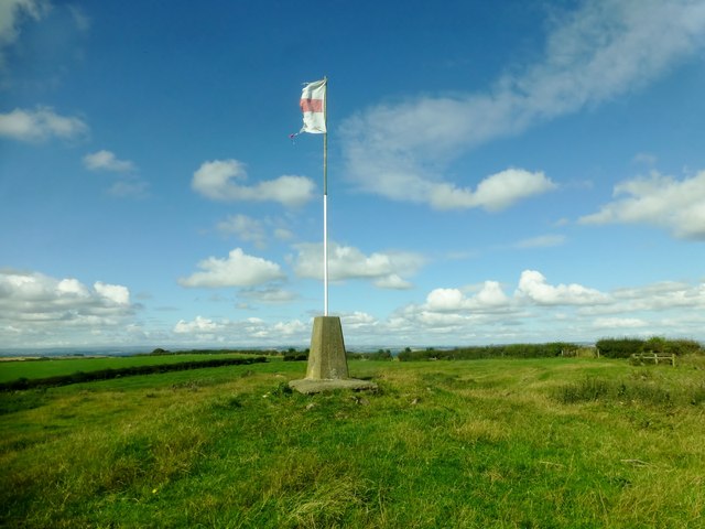
Image: © Rude Health Taken: 31 Aug 2014
Parked on the B road then followed the track to the trig. Name: Strawberry Hill Hill number: 5309 Height: 193m / 633ft Parent (Ma/M): 2714 Burnhope Seat Section: 35A: The Northern Pennines County/UA: Durham (CoU) Class: HuMP, Tump (100-199m) Grid ref: NZ 34630 39239 Summit feature: trig point Drop: 110m Col: 83m NZ301334
Images are licensed for reuse under creativecommons.org/licenses/by-sa/2.0
Image Location
Latitude
54.746842
Longitude
-1.463557