Shawsgate Farmhouse
Introduction
The photograph on this page of Shawsgate Farmhouse by Bikeboy as part of the Geograph project.
The Geograph project started in 2005 with the aim of publishing, organising and preserving representative images for every square kilometre of Great Britain, Ireland and the Isle of Man.

There are currently over 7.5m images from over 14,400 individuals and you can help contribute to the project by visiting https://www.geograph.org.uk
Shawsgate Farmhouse
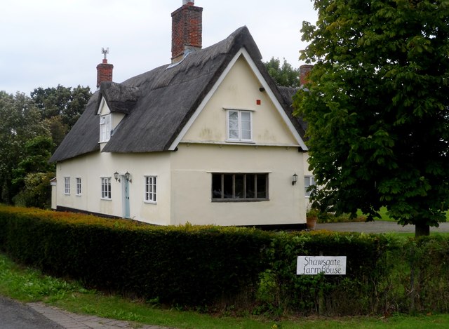
Image: © Bikeboy Taken: 26 Aug 2014
Part of the vineyard business next door. The building dates from late C16/early C17.
Images are licensed for reuse under creativecommons.org/licenses/by-sa/2.0
Image Location
Latitude
52.233345
Longitude
1.36285