Five Acres/Kiln Field
Introduction
The photograph on this page of Five Acres/Kiln Field by Simon Carey as part of the Geograph project.
The Geograph project started in 2005 with the aim of publishing, organising and preserving representative images for every square kilometre of Great Britain, Ireland and the Isle of Man.

There are currently over 7.5m images from over 14,400 individuals and you can help contribute to the project by visiting https://www.geograph.org.uk
Five Acres/Kiln Field
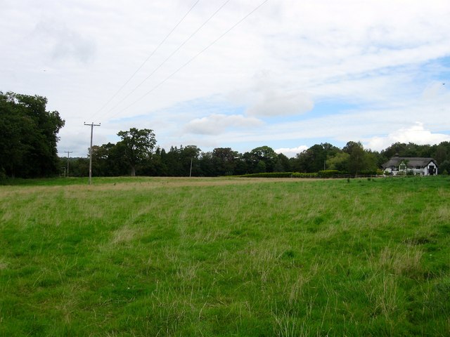
Image: © Simon Carey Taken: 31 Aug 2014
The name of the fields according to Bolney's 1842 tithe map that have been merged to form a larger unit. Five Acres was in the foreground to the south, Kiln Field in the distance to the north, part of which has been lost to the construction of Honeysuckle Cottage between the wars. The field is bounded by Image and Image to the west, the A272 to the north, Stairbridge Lane to the east and Image to the south. The field also contains Image
Images are licensed for reuse under creativecommons.org/licenses/by-sa/2.0
Image Location
Latitude
50.986531
Longitude
-0.190563