Embsay: Brackenley Lane, looking west
Introduction
The photograph on this page of Embsay: Brackenley Lane, looking west by Dr Neil Clifton as part of the Geograph project.
The Geograph project started in 2005 with the aim of publishing, organising and preserving representative images for every square kilometre of Great Britain, Ireland and the Isle of Man.

There are currently over 7.5m images from over 14,400 individuals and you can help contribute to the project by visiting https://www.geograph.org.uk
Embsay: Brackenley Lane, looking west
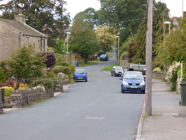
Image: © Dr Neil Clifton Taken: 1 Sep 2014
Brackenley Farm is seen on the left. Further on, Brackenley Lane becomes a single-track road with some hazardous bends, and eventually emerges onto the Skipton-Grassington road just north of the 'Craven Heifer'. There is quite a lot of traffic along Brackenley Lane, and the County Council should consider whether it could be widened and made safer.
Images are licensed for reuse under creativecommons.org/licenses/by-sa/2.0
Image Location
Latitude
53.976753
Longitude
-1.998134