East side of the B3133 bridge over Blind Yeo
Introduction
The photograph on this page of East side of the B3133 bridge over Blind Yeo by Jaggery as part of the Geograph project.
The Geograph project started in 2005 with the aim of publishing, organising and preserving representative images for every square kilometre of Great Britain, Ireland and the Isle of Man.

There are currently over 7.5m images from over 14,400 individuals and you can help contribute to the project by visiting https://www.geograph.org.uk
East side of the B3133 bridge over Blind Yeo
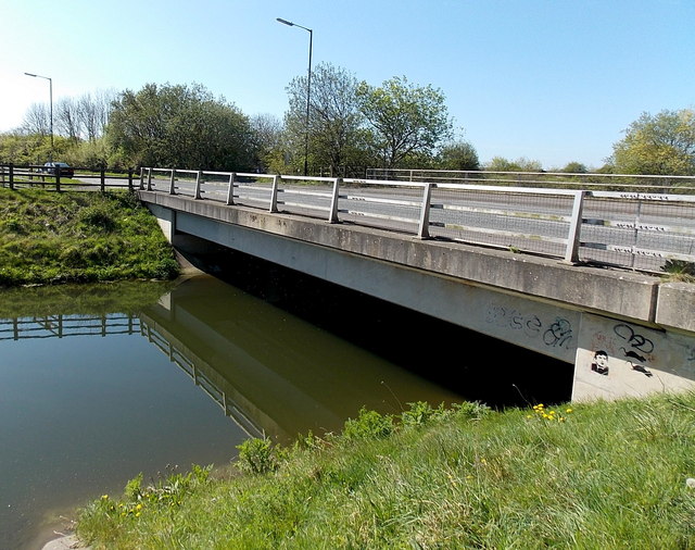
Image: © Jaggery Taken: 14 Apr 2014
Here about 15 metres wide, Blind Yeo is a sluggish river draining part of the North Somerset Levels. It flows into the Bristol Channel about a mile (c1.6km) west of this bridge.
Images are licensed for reuse under creativecommons.org/licenses/by-sa/2.0
Image Location
Latitude
51.42454
Longitude
-2.854417