Pant yr Esgair
Introduction
The photograph on this page of Pant yr Esgair by John Atherton as part of the Geograph project.
The Geograph project started in 2005 with the aim of publishing, organising and preserving representative images for every square kilometre of Great Britain, Ireland and the Isle of Man.

There are currently over 7.5m images from over 14,400 individuals and you can help contribute to the project by visiting https://www.geograph.org.uk
Pant yr Esgair
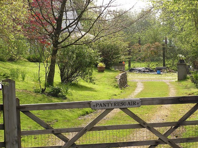
Image: © John Atherton Taken: 27 Apr 2007
Gate and driveway into Pant yr Esgair, off the B4302 just outside Talley
Images are licensed for reuse under creativecommons.org/licenses/by-sa/2.0
Image Location
Latitude
51.968836
Longitude
-3.973403