Graveyard Wall at Coddington St Mary
Introduction
The photograph on this page of Graveyard Wall at Coddington St Mary by John S Turner as part of the Geograph project.
The Geograph project started in 2005 with the aim of publishing, organising and preserving representative images for every square kilometre of Great Britain, Ireland and the Isle of Man.

There are currently over 7.5m images from over 14,400 individuals and you can help contribute to the project by visiting https://www.geograph.org.uk
Graveyard Wall at Coddington St Mary
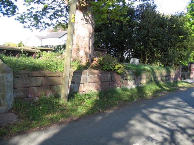
Image: © John S Turner Taken: 19 Apr 2007
Viewed from Aldersey lane, this section of the graveyard wall runs between the church steps on the left, see Image, and the gate to the old rectory on the right. About halfway along, between the wooden pole and the rectory gate, there is an inscribed stone with the name of at least one church warden, and the date 1748. This stone would seem to date the wall. Also see Image .
Images are licensed for reuse under creativecommons.org/licenses/by-sa/2.0
Image Location


Leaflet Map data © OpenStreetMap
Latitude
53.092543
Longitude
-2.81796