Descending Bristol Hill, A39
Introduction
The photograph on this page of Descending Bristol Hill, A39 by J.Hannan-Briggs as part of the Geograph project.
The Geograph project started in 2005 with the aim of publishing, organising and preserving representative images for every square kilometre of Great Britain, Ireland and the Isle of Man.

There are currently over 7.5m images from over 14,400 individuals and you can help contribute to the project by visiting https://www.geograph.org.uk
Descending Bristol Hill, A39
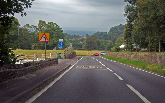
Image: © J.Hannan-Briggs Taken: 31 Jul 2014
There is an escape lane some 400 yards ahead. Near Beryl Farm.
Images are licensed for reuse under creativecommons.org/licenses/by-sa/2.0
Image Location
Latitude
51.221175
Longitude
-2.637719