Road planing, Gors Goch
Introduction
The photograph on this page of Road planing, Gors Goch by Christopher Hall as part of the Geograph project.
The Geograph project started in 2005 with the aim of publishing, organising and preserving representative images for every square kilometre of Great Britain, Ireland and the Isle of Man.

There are currently over 7.5m images from over 14,400 individuals and you can help contribute to the project by visiting https://www.geograph.org.uk
Road planing, Gors Goch
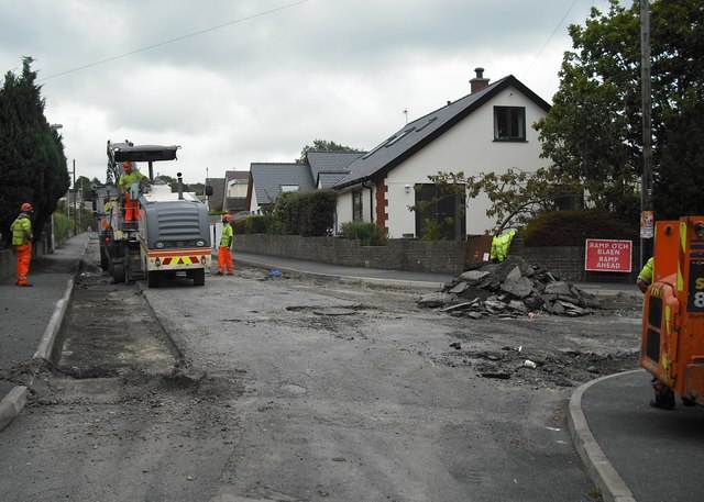
Image: © Christopher Hall Taken: 13 Aug 2014
The machine on the left is taking off the old top surface prior to resurfacing with hot rolled asphalt.
Images are licensed for reuse under creativecommons.org/licenses/by-sa/2.0
Image Location
Latitude
53.229424
Longitude
-4.173393