Five Acres/Nine Acres
Introduction
The photograph on this page of Five Acres/Nine Acres by Simon Carey as part of the Geograph project.
The Geograph project started in 2005 with the aim of publishing, organising and preserving representative images for every square kilometre of Great Britain, Ireland and the Isle of Man.

There are currently over 7.5m images from over 14,400 individuals and you can help contribute to the project by visiting https://www.geograph.org.uk
Five Acres/Nine Acres
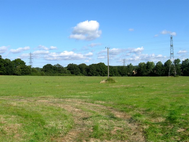
Image: © Simon Carey Taken: 23 Aug 2014
The name of the fields according to Twineham's 1837 tithe map that have been merged together along with Image to the east to form a larger unit. Five Acres was to the south adjacent to Image whilst Nine Acres occupied the northern part. The pylons are heading to Image which lies a mile or so to the west.
Images are licensed for reuse under creativecommons.org/licenses/by-sa/2.0
Image Location
Latitude
50.973553
Longitude
-0.217989