Mercers Road at the junction of Dalmeny Road
Introduction
The photograph on this page of Mercers Road at the junction of Dalmeny Road by David Howard as part of the Geograph project.
The Geograph project started in 2005 with the aim of publishing, organising and preserving representative images for every square kilometre of Great Britain, Ireland and the Isle of Man.

There are currently over 7.5m images from over 14,400 individuals and you can help contribute to the project by visiting https://www.geograph.org.uk
Mercers Road at the junction of Dalmeny Road
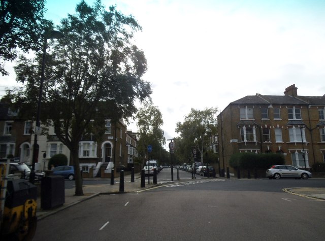
Image: © David Howard Taken: 28 Aug 2014
You can look, you can walk, but you can't drive, the roads here have been made cul de sacs on both sides so only for residents and their visitors. Islington council were (with Camden) one of the first to bring this policy in in London in the 70s, and have not stopped since. The entire borough now has a 20mph limit, as does neighbouring Camden. I would not recommend it to anyone.
Images are licensed for reuse under creativecommons.org/licenses/by-sa/2.0
Image Location
Latitude
51.558251
Longitude
-0.130599