Lower Cross Barn.
Introduction
The photograph on this page of Lower Cross Barn. by Michael Fox as part of the Geograph project.
The Geograph project started in 2005 with the aim of publishing, organising and preserving representative images for every square kilometre of Great Britain, Ireland and the Isle of Man.

There are currently over 7.5m images from over 14,400 individuals and you can help contribute to the project by visiting https://www.geograph.org.uk
Lower Cross Barn.
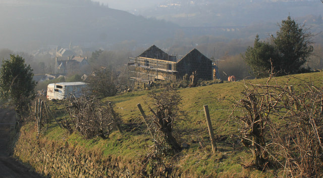
Image: © Michael Fox Taken: 5 Mar 2013
One of the numerous and distinctive stone barns to be found in the Saddleworth district is seen in process of conversion to a house. Many others have been converted similarly.
Images are licensed for reuse under creativecommons.org/licenses/by-sa/2.0
Image Location
Latitude
53.545778
Longitude
-1.996491