River Ouse at Naburn Lock
Introduction
The photograph on this page of River Ouse at Naburn Lock by Stuart and Fiona Jackson as part of the Geograph project.
The Geograph project started in 2005 with the aim of publishing, organising and preserving representative images for every square kilometre of Great Britain, Ireland and the Isle of Man.

There are currently over 7.5m images from over 14,400 individuals and you can help contribute to the project by visiting https://www.geograph.org.uk
River Ouse at Naburn Lock
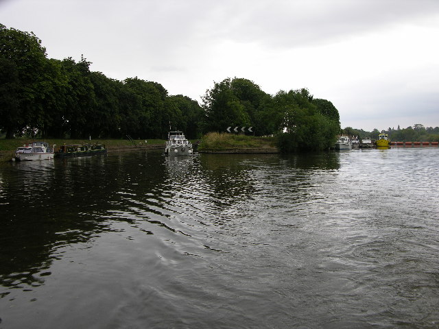
Image: © Stuart and Fiona Jackson Taken: 12 Aug 2005
The lock is on the left of the photo and the weir top on the right. This view looks south and the river is tidal beyond this point.
Images are licensed for reuse under creativecommons.org/licenses/by-sa/2.0
Image Location


Leaflet Map data © OpenStreetMap
Latitude
53.893272
Longitude
-1.096105