Farm buildings at Pond Farm
Introduction
The photograph on this page of Farm buildings at Pond Farm by Alan Murray-Rust as part of the Geograph project.
The Geograph project started in 2005 with the aim of publishing, organising and preserving representative images for every square kilometre of Great Britain, Ireland and the Isle of Man.

There are currently over 7.5m images from over 14,400 individuals and you can help contribute to the project by visiting https://www.geograph.org.uk
Farm buildings at Pond Farm
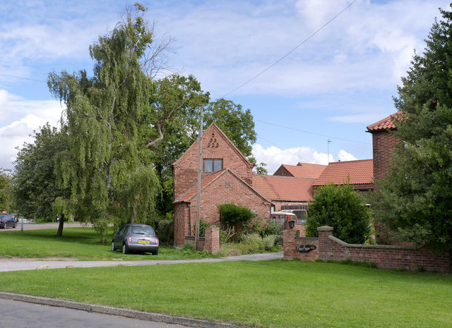
Image: © Alan Murray-Rust Taken: 22 Aug 2014
The range of buildings dates from between the late 18th century and the 20th century, and have relatively recently been converted to residential use. LG II for group value.
Images are licensed for reuse under creativecommons.org/licenses/by-sa/2.0
Image Location
Latitude
53.249999
Longitude
-0.888497