Knock River / Orangefield river
Introduction
The photograph on this page of Knock River / Orangefield river by John Thompson as part of the Geograph project.
The Geograph project started in 2005 with the aim of publishing, organising and preserving representative images for every square kilometre of Great Britain, Ireland and the Isle of Man.

There are currently over 7.5m images from over 14,400 individuals and you can help contribute to the project by visiting https://www.geograph.org.uk
Knock River / Orangefield river
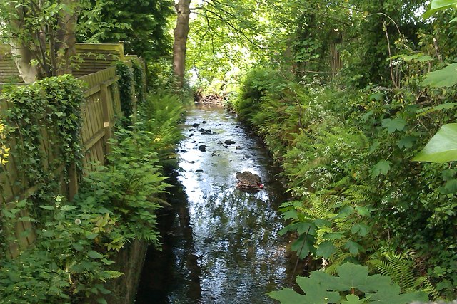
Image: © John Thompson Taken: 17 May 2014
Knock / Orangefield river as it passes under Clara Park You need to look over the wall Have always known this as Orangefield river but most other posters call this Knock river
Images are licensed for reuse under creativecommons.org/licenses/by-sa/2.0
Image Location
Latitude
54.588503
Longitude
-5.867242