Road closed
Introduction
The photograph on this page of Road closed by Anthony Vosper as part of the Geograph project.
The Geograph project started in 2005 with the aim of publishing, organising and preserving representative images for every square kilometre of Great Britain, Ireland and the Isle of Man.

There are currently over 7.5m images from over 14,400 individuals and you can help contribute to the project by visiting https://www.geograph.org.uk
Road closed
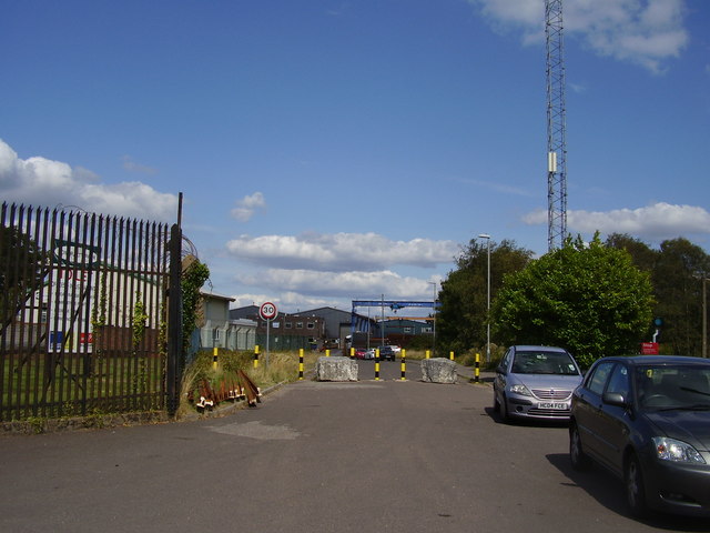
Image: © Anthony Vosper Taken: 22 Aug 2014
Blocks of stone on the road adjacent to the station serve to prevent the road being used as a'rat run' to the nearby industrial estate.
Images are licensed for reuse under creativecommons.org/licenses/by-sa/2.0
Image Location
Latitude
50.711947
Longitude
-2.077279